ENVI入门系列教程---3. 基于自带定位信息的几何校正
every blog every motto: There is only one me in this world.
0. 前言ENVI中对中低分辨率图像校正。
说明: 本文基于ENVI 5.3
打开文件 open as -> optical sensors -> EOS -> MODIS


选择传感器校正,geometric correction ->Georeference by sensor -> georeference modis
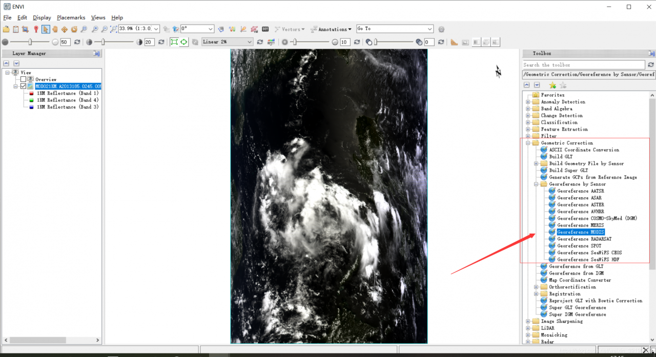
选择表观反射率,校正

坐标系改为WGS-84

修改校正后文件的保存路径


新建view ,后加载数据

结果:

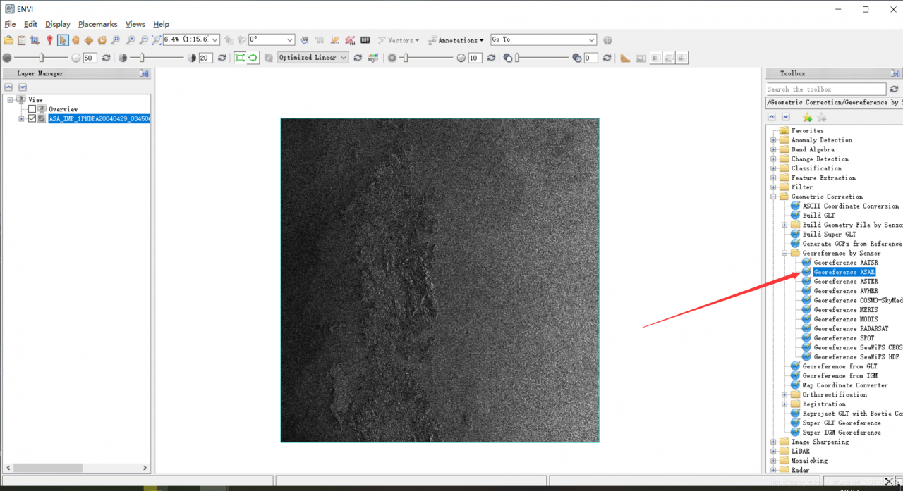
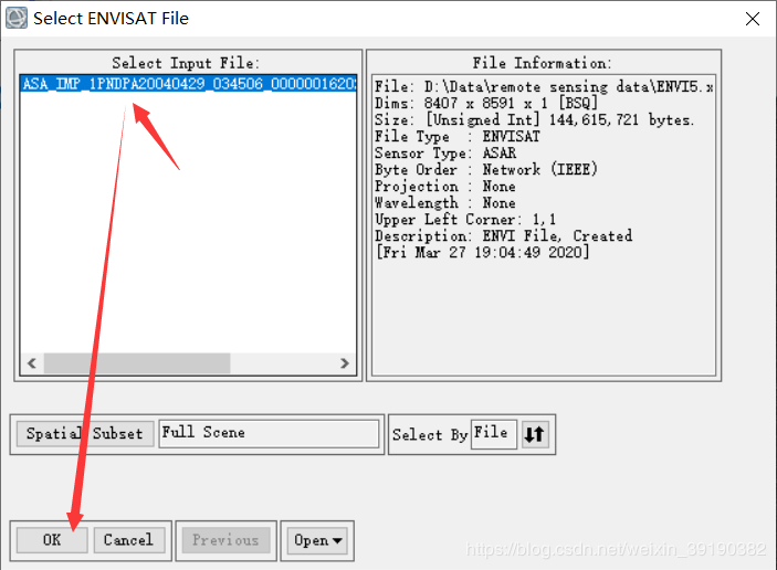
打开文件,open as -> optical sensor -> envisat -> asar

几何校正,


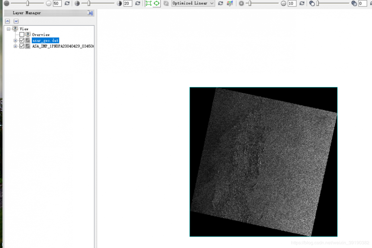
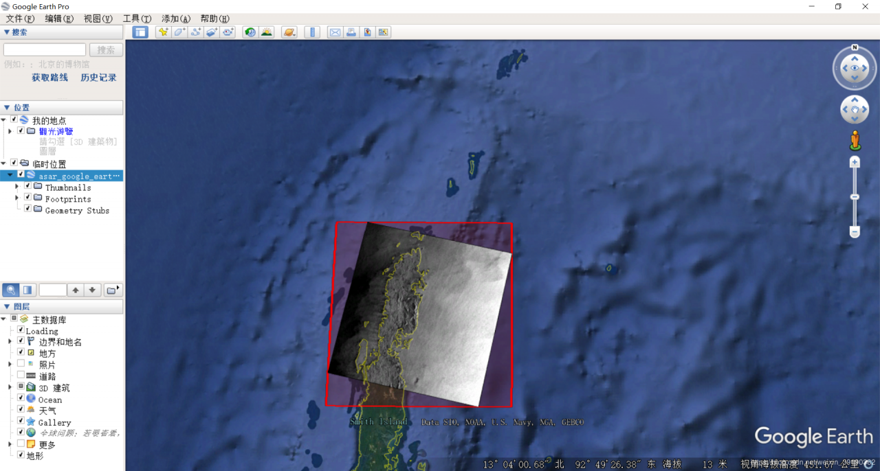
对校正后的数据,叠加到google earth 中检视
spear -> spear google earth bridge

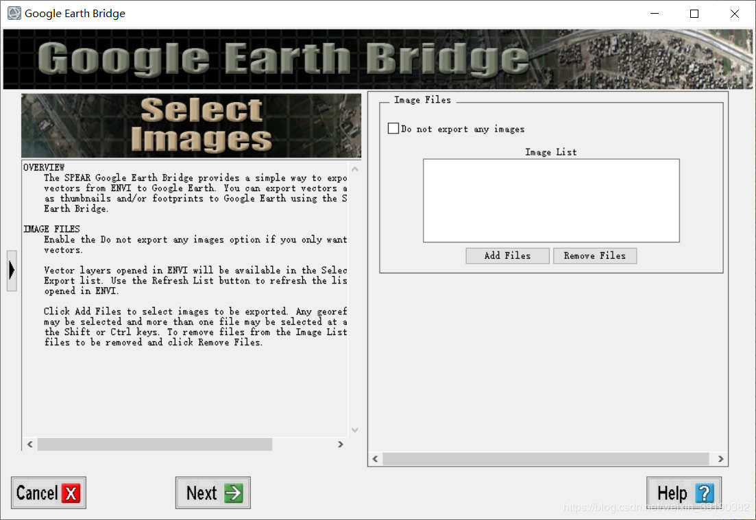
添加校正后的数据,如下图。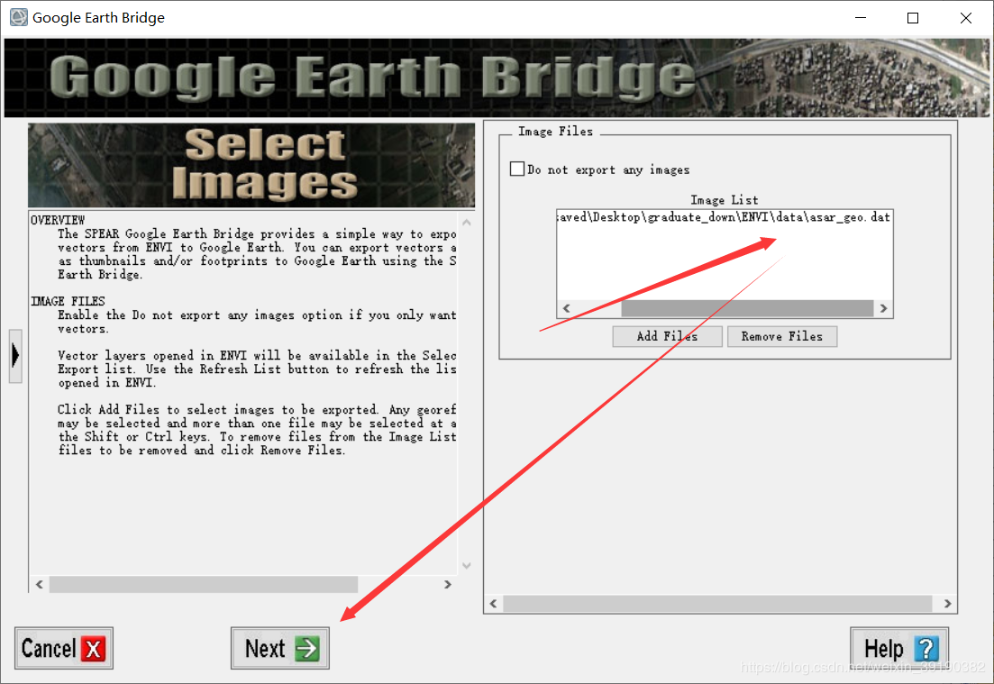
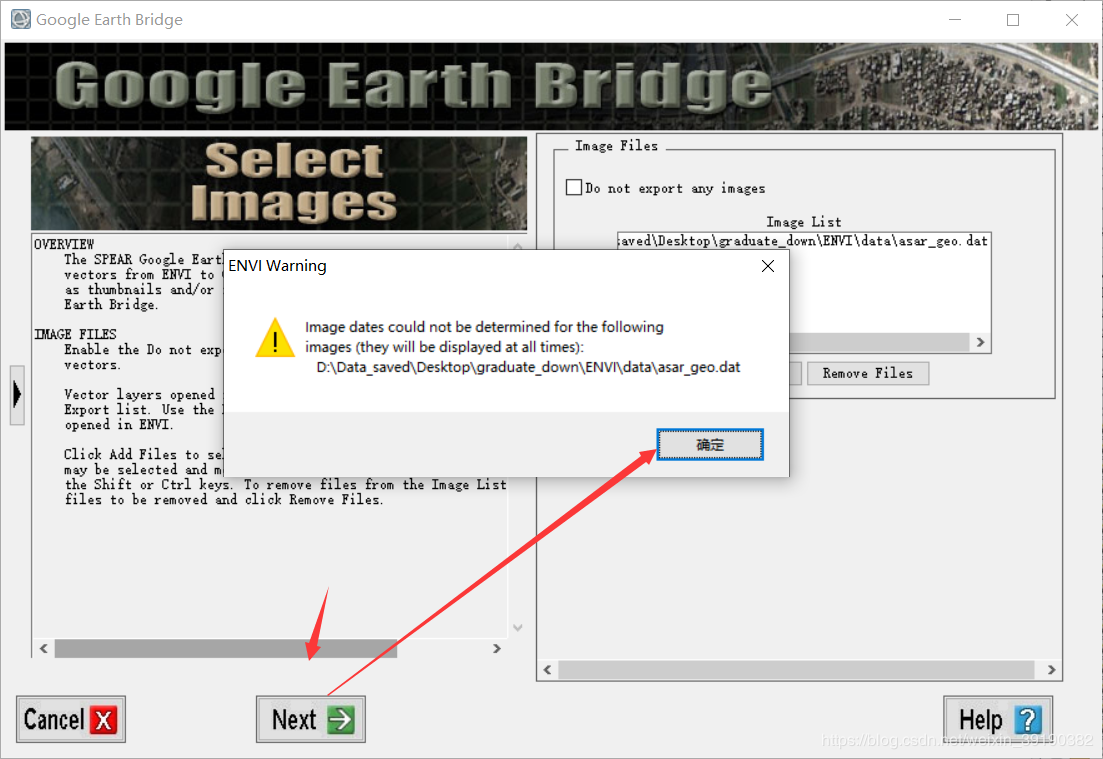
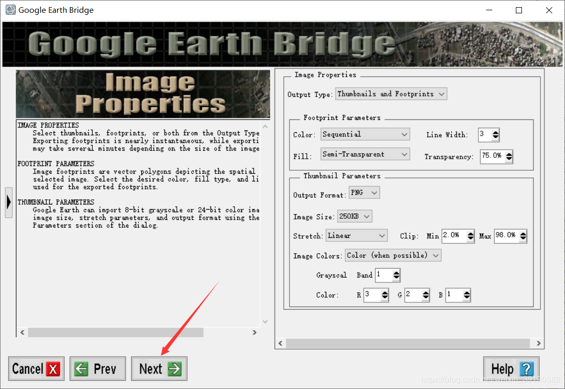


google earth 中验证,牛逼!!
file -> open (.he5风云三号)
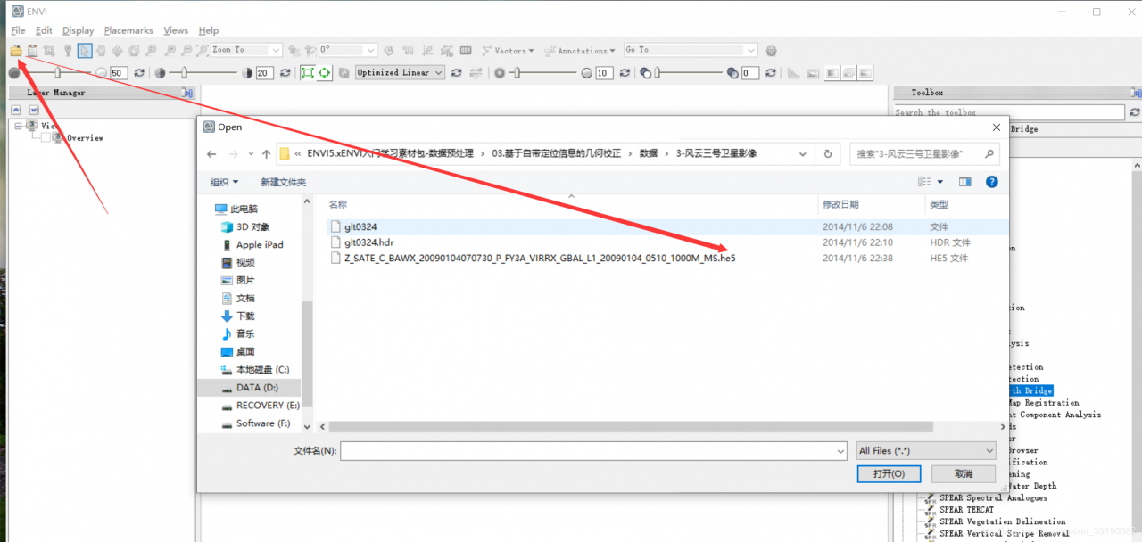
加载表观反射率

重新打开, 加载位置信息
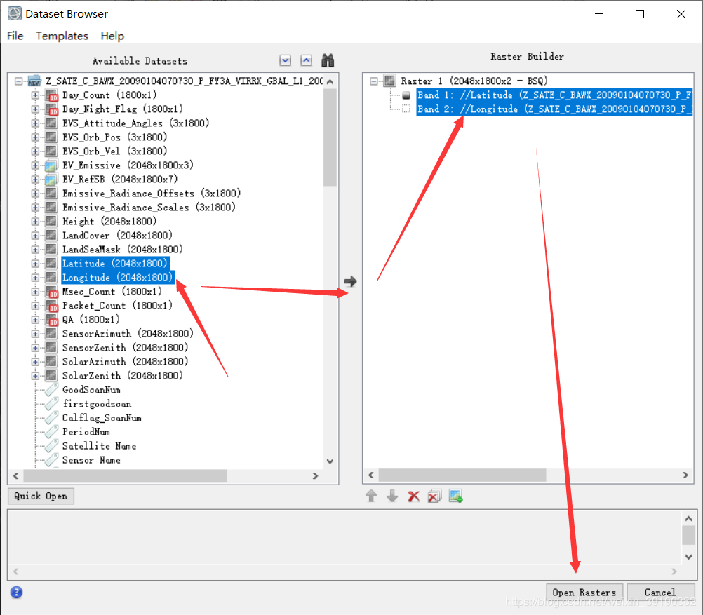
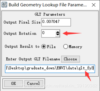
构建GLT文件
geometric correction -> build GLT


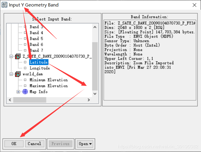

旋转角设置为0
用生成的GLT文件进行校正
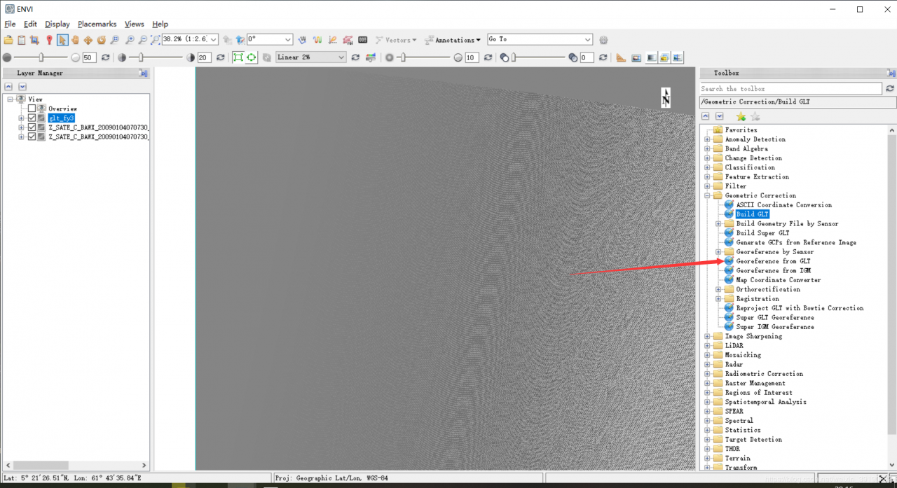
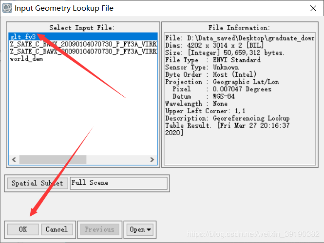
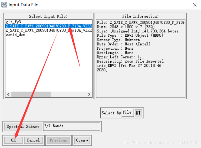
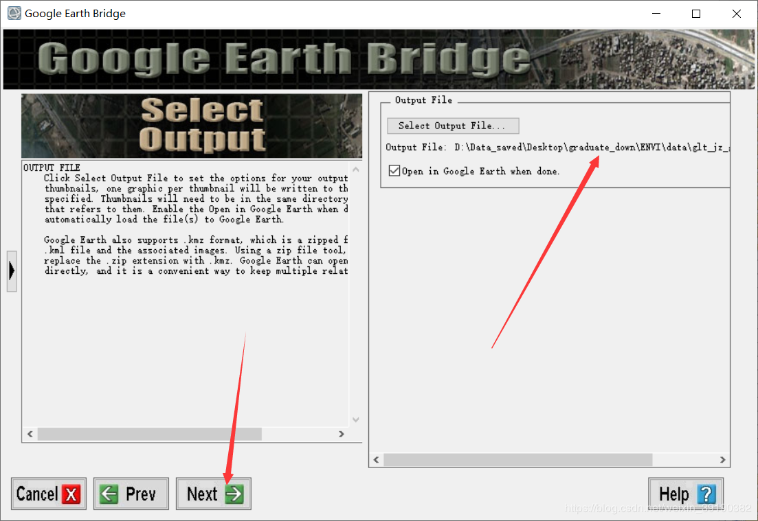
选择输出文件路径名
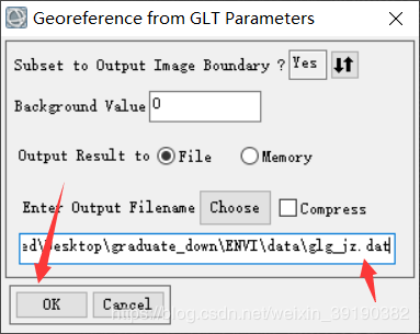
校正完成

google earth 上进行验证

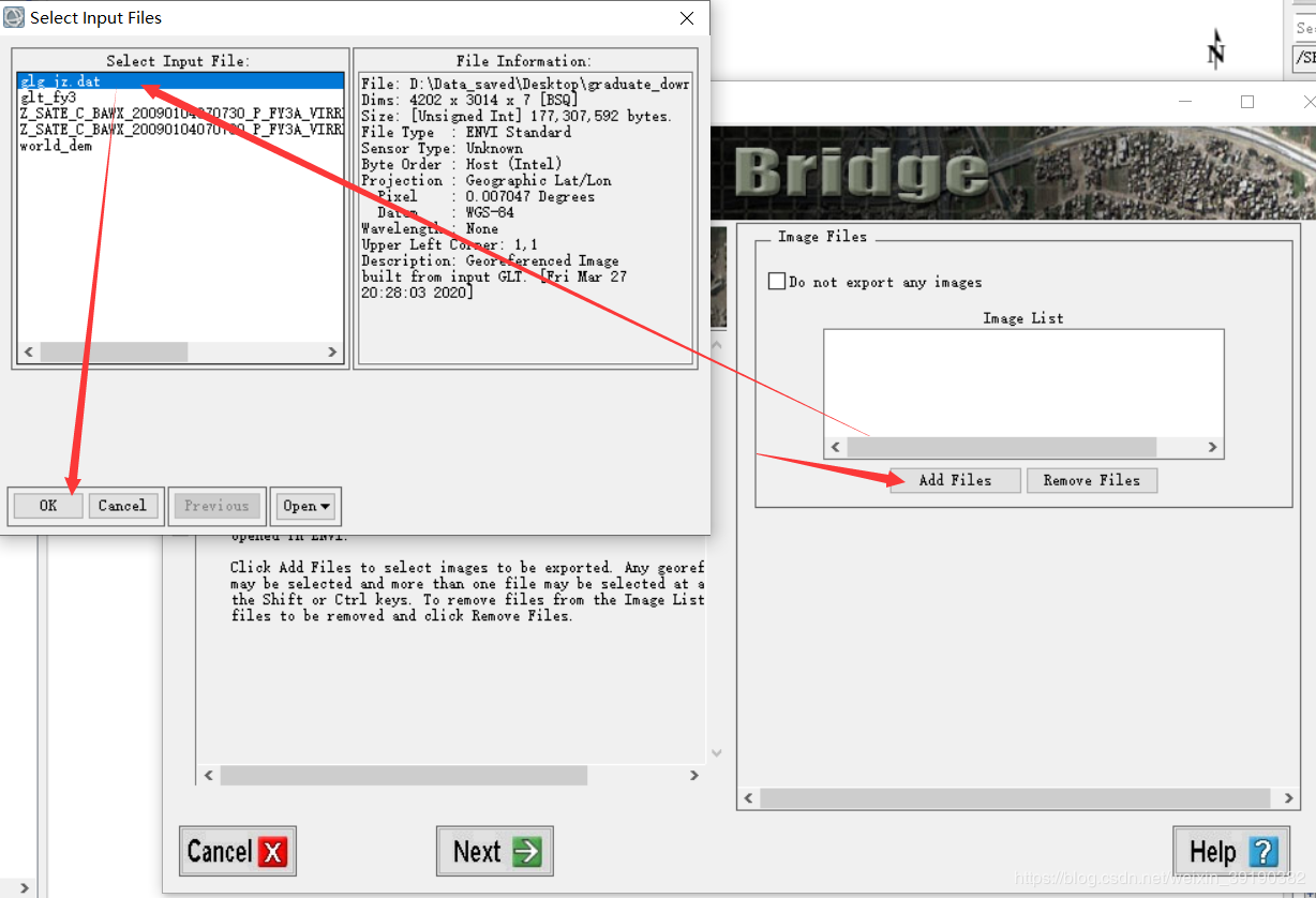
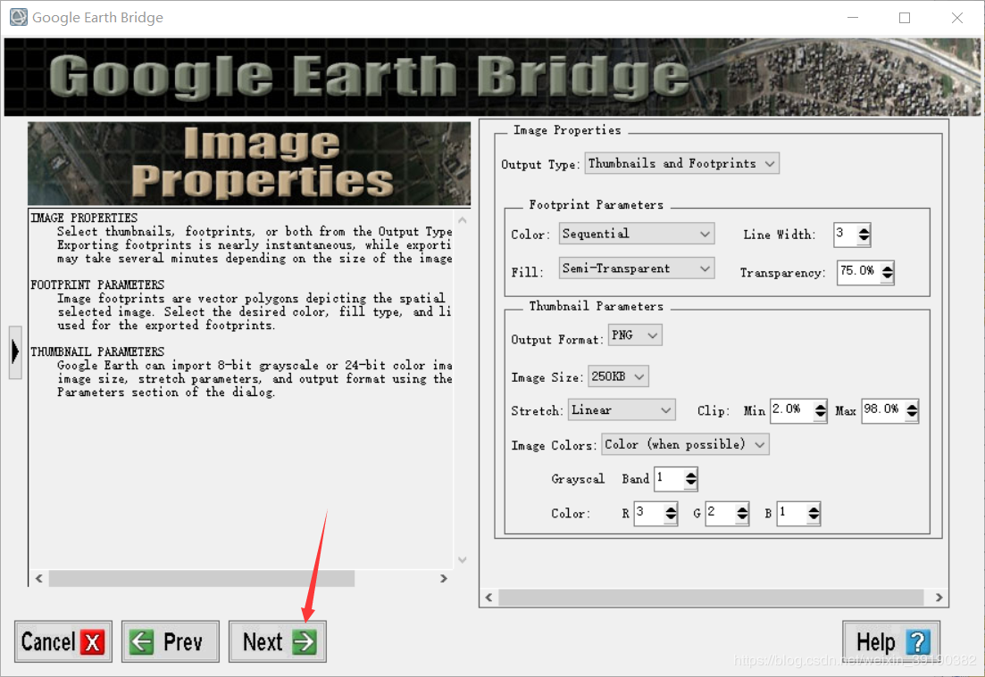
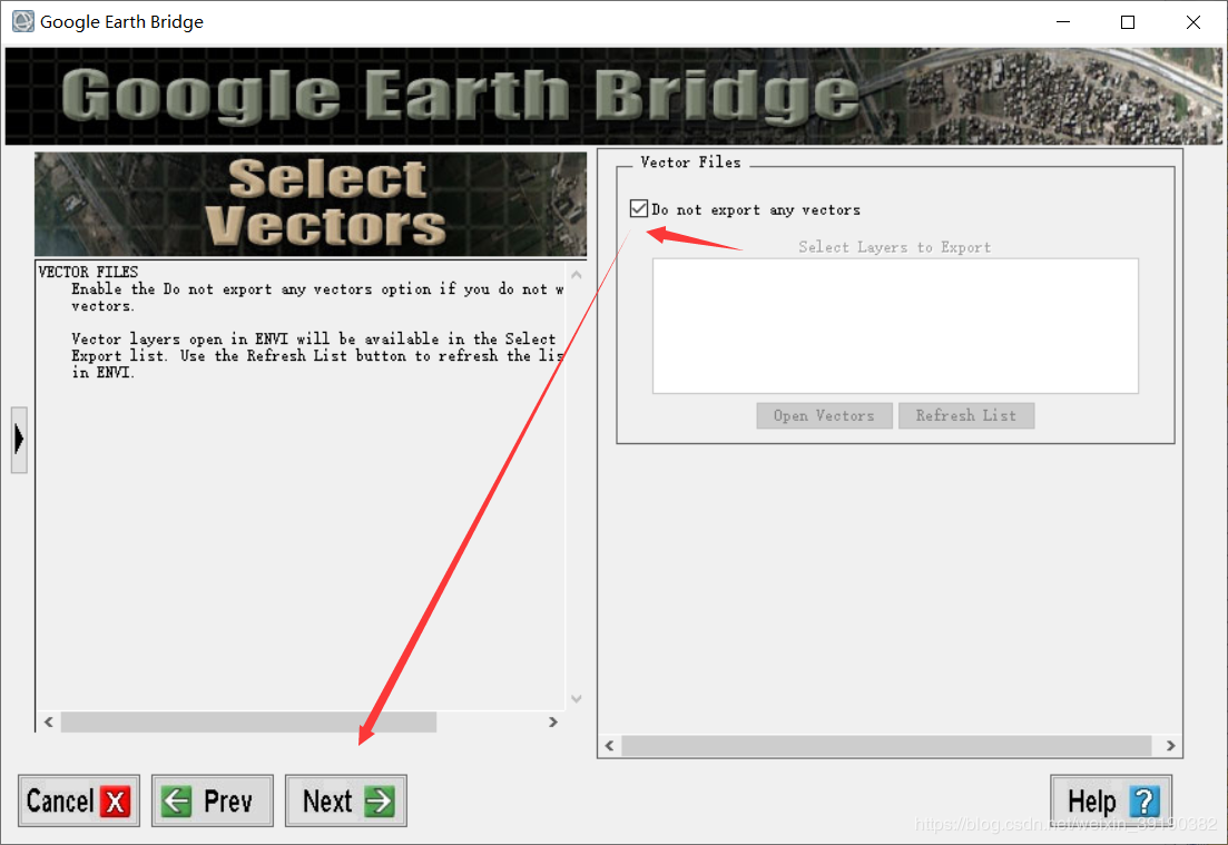
完全重合,太牛逼了!!! 神奇!!!

作者:胡侃有料
相关文章
Kara
2021-05-30
Ruth
2020-11-17
Dulcea
2023-07-21
Malina
2023-07-21
Tia
2023-07-21
Lida
2023-07-21
Bonnie
2023-07-21
Tia
2023-07-21
Lala
2023-07-21
Tallulah
2023-07-21
Crystal
2023-07-21
Galatea
2023-07-21
Kersen
2023-07-21
Bonnie
2023-07-21
Echo
2023-07-22
Phemia
2023-07-22
Pelagia
2023-07-22
Rhoda
2023-07-22
Diane
2023-08-08